City of Winnipeg Neighbourhood Profiles
Neighbourhood Profiles are available thanks to Statistics Canada and the Community Data Network, of which the City of Winnipeg is a member. The 2001 Census represents the most current socioeconomic information available.
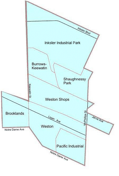
Click on the map to get information on a neighbourhood. Neighbourhood boundaries are indicated in red. Major streets are shown in black, unless they represent a neighbourhood boundary (shown in red).
◄ Back to Alphabetical Neighbourhood Listing

Inkster East Neighbourhood Cluster
Inkster East Neighbourhood Cluster.pdf
Inkster East Neighbourhood Cluster.xls
Inkster East Neighbourhoods
Brooklands
Burrows-Keewatin
Burrows-Keewatin.pdf
Burrows-Keewatin.xls
Shaughnessy Park
Shaughnessy Park.pdf
Shaughnessy Park.xls
Weston
Last update: 30.07.2019* Top of Page
