
Long range planning
Long range planning informs how our city will grow and change into the future.
Like other cities, Winnipeg is evolving to better meet the needs of residents. Long range planning is an important tool that enables us to achieve our policy objectives.
Related links
Local area planning
Local Area Plans set objectives and policies to guide the growth and development of specific areas or new neighbourhoods. Within our planning framework, Local Area Plans are considered secondary plans as defined in The City of Winnipeg Charter Act.
Secondary plans and future development areas
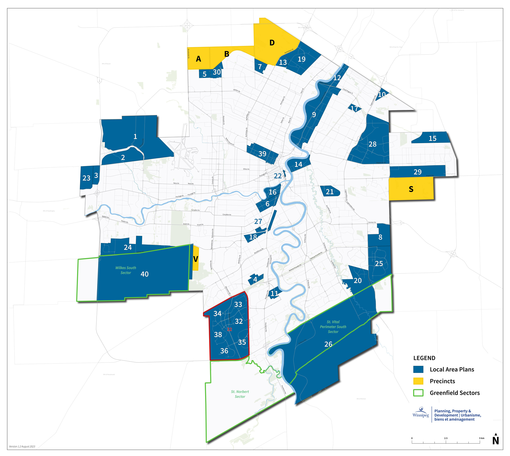
Approved Local Area Plans
- Airport Area West Industrial Secondary Plan
- Airport Area West Residential
- Assiniboia Downs AMP
- Bishop Grandin Crossing
- Castlebury Meadows (T)
- Corydon Osborne Area Plan
- Court Avenue (E)
- Dawson Trail (J)
- Henderson Highway Corridor Area Action Plan
- Kil-Cona Park Area (West) Secondary Plan
- North Campus Lands
- North Henderson Highway Secondary Plan
- North Point Village (F)
- North St. Boniface Secondary Plan
- Transcona North (I)
- Osborne Village Neighbourhood Plan
- Palliser Major Redevelopment Site Plan
- Parker Lands Major Redevelopment Site
- Precinct 'G'
- Precinct 'K'
- Public Markets Major Redevelopment Site
- Railside at the Forks
- Red River Ex
- Ridgewood South (Q)
- South St. Boniface ASP
- St. Vital Perimeter South
- Taylor Lands
- Transcona West ASP
- Transcona Yards Industrial
- Waterford Green (C)
- Waverley West Area Structure Plan
- Waverley West 'B'
- Waverley West NE
- Waverley West NW
- Waverley West SE
- Waverley West SW
- Waverley West Town Centre
- Waverley West W
- West Alexander & Centennial
- Wilkes South Secondary Plan
- Yards at Fort Rouge
Last update:
February 25, 2026