Due to scheduled maintenance, some online forms may be unavailable on Monday, December 15. Contact 311 to access City services during this time.
Historical flood information
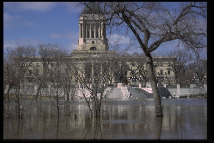
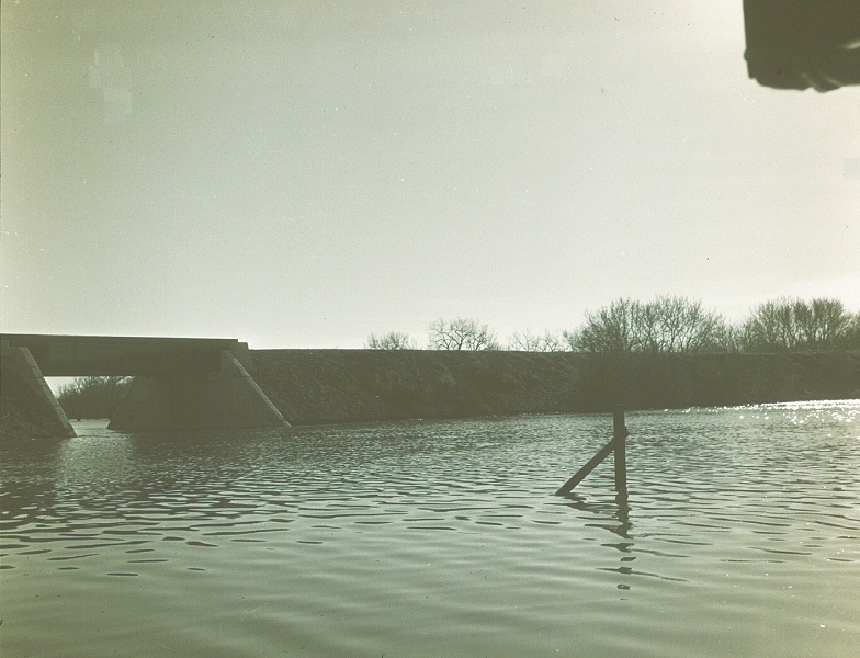
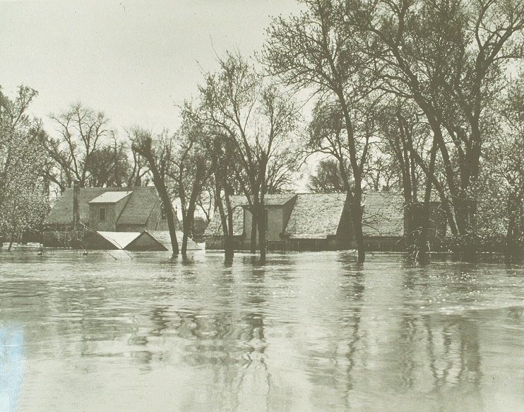
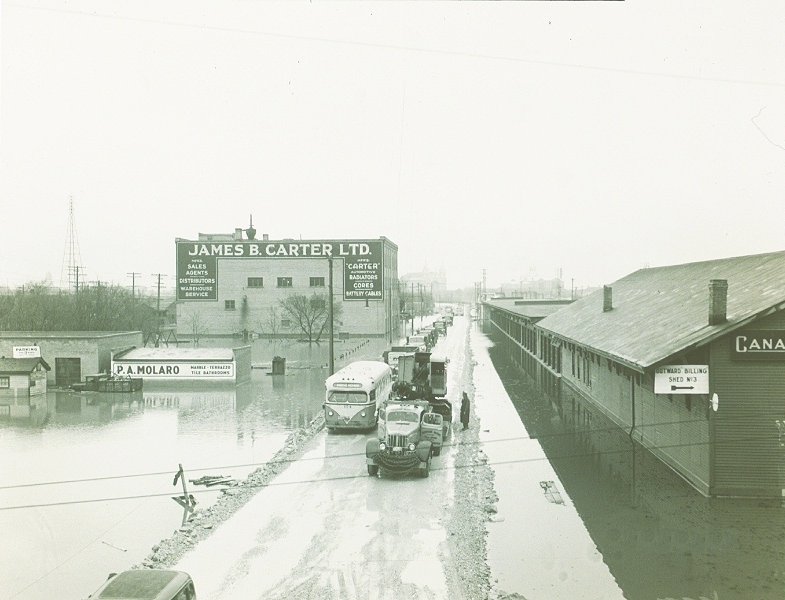
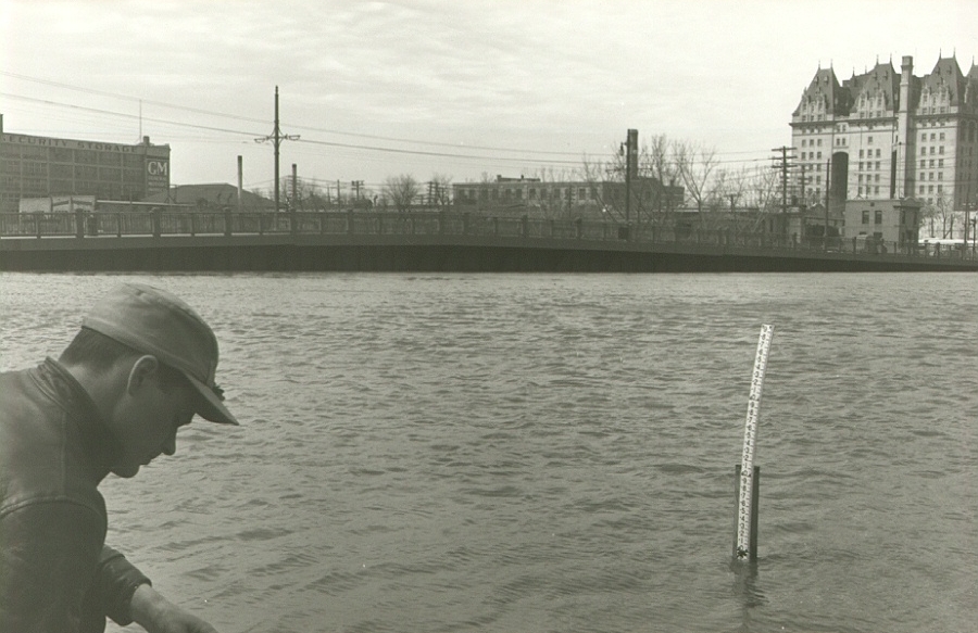
Winnipeg has experienced many river flooding events in the past, including the flood of 1950 and the flood of 1997, also known as the flood of the century.
Historical flood river levels at James Avenue
| Peak Red River levels in Winnipeg at James Avenue (in feet) | ||||
|---|---|---|---|---|
| Year | Spring floods | Summer/Fall floods | ||
| 2024 | No spring flood | |||
| 2023 | 17.9 | April 30 | ||
| 2022 | 18.9 | May 1 | ||
| 2021 | No spring flood | |||
| 2020 | 18.9 | April 23 | ||
| 2019 | 17.7 | April 15 | 17.2 | October 23 |
| 2018 | 15.7 | April 30 | ||
| 2017 | 19.5 | April 1 | ||
| 2016 | 18.1 | March 18 | ||
| 2015 | No spring flood | |||
| 2014 | 19.1 | April 22 | 17.6 | July 2 |
| 2013 | 18.2 | May 2 | ||
| 2012 | No spring flood | |||
| 2011 | 20.8 | April 7 | 17.7 | July 8 |
| 2010 | 18.5 | April 2 | ||
| 2009 | 22.6 | April 16 | 15.0 | July 4 |
| 2008 | No spring flood | |||
| 2007 | 17.9 | April 11 | 16.1 | June 29 |
| 2006 | 20.4 | April 7 | ||
| 2005 | 19.2 | April 7 | 20.2 | July 3 & 4 |
| 2004 | 19.0 | April 4 | 15.3 | June 9 |
| 2003 | No spring flood | |||
| 2002 | No spring flood | 17.3 | June 15 | |
| 2001 | 18.5 | April 7 | ||
| 2000 | No spring flood | 15.6 | July 8 & 9 | |
| 1999 | 17.4 | April 10 | ||
| 1998 | 17.2 | March 31 | ||
| 1997 | 24.5 | May 3 | ||
| 1996 | 19.4 | April 28 | ||
| 1996 | 19.4 | April 28 | ||
| 1979 | 19.3 | |||
| 1966 | 26.3* | |||
| 1950 | 30.3* | |||
| 1861 | 33* | |||
| 1852 | 35* | |||
| 1826 | 37* | |||
Only peaks over 15 feet James are shown.
As reference, the normal summer river level is 6.5 feet James while the River Walkway level is 8.5 feet James.
* Before construction of the Floodway. Historic 1800's flood highwater data comes from Sir Sanford Fleming Surveys (1879) and recorded in 1 foot intervals only.
The flood of 1997
In spring 1997, the city experienced its largest flood event of the 20th century. The main cause of the flood was a large snowstorm that brought a large amount of unexpected snow to the city in early April 1997.
River levels were already high on the Red River, and when the unexpected snow from the April storm melted, the water had nowhere to go, causing the Red River to flood.
Flood of 1997 timeline
February 26 & 27, 1997
The Province of Manitoba issues their flood forecast and the City starts preparing for the flood.March 21, 1997
The Province of Manitoba issues their second flood forecast. Sandbag production is underway using one sandbag machine.March 25, 1997
The first deliveries of sandbags are delivered so secondary dike building can begin.April 5-8, 1997
Winnipeg was hit was an unprecedented, late season snowstorm, which brought a large amount of unexpected snow to the city. Sandbag production continues, using two sandbag machines.April 20, 1997
The Province updates its flood forecast, predicting river levels will peak at 24.5 feet James.April 22, 1997
The City opens a reception centre in St. Vital and starts delivering information packages about evacuation procedures to affected residents.April 26, 1997
The Province of Manitoba determines many homes would be at risk if the Brunkild Dike fails. The City notifies residents of St. Norbert and St. Germaine/Vermette that they are on a 24-hour evacuation alert.May 1, 1997
The Red River crests at 24.5 feet James.May 5, 1997
The Provencher Bridge closes due to structural damage caused by high river levels.May 7, 1997
Sandbag production ends and some residents are allowed to return home.July 14, 1997
The Provencher Bridge is repaired and re-opens.
Flood fighting efforts - 1997
The majority (99.9 percent) of Winnipeg residents were protected by major flood infrastructure, such as the Shellmouth Dam and Reservoir, Portage Diversion, Red River Floodway and Winnipeg’s Primary Diking System during the 1997 Flood.
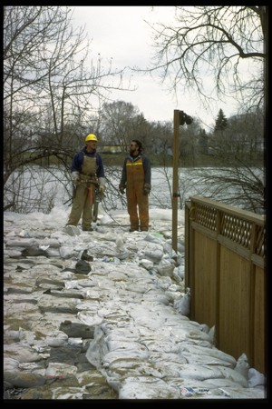
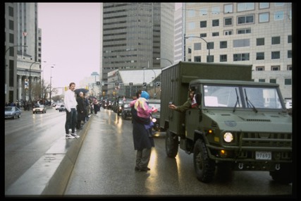
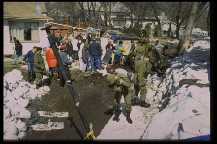
To help protect the residents whose properties were at risk of river flooding, more than 3,000 City employees worked together to:
- Evacuate more than 9,000 residents (representing 3,000 homes), primarily in the south end of the city
- Build secondary dikes to protect 800 properties within the city
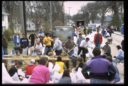
- Train and coordinate more than 70,000 volunteers to help build the secondary dikes
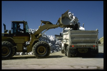
- Fill and deliver more than 8 million sandbags
- Excavate more than 45,000 truckloads (600,000 cubic meters) of clay
- Raise the primary diking system by an average of three feet at 25 different locations
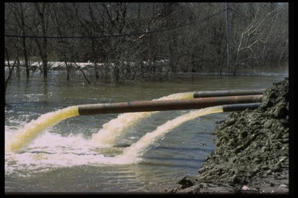
- Operate all 34 of the City’s flood pumping stations
- Provide emergency medical services where needed
- Operate a Flood Hotline for residents
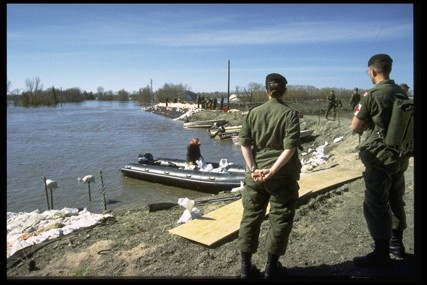
- Monitor waterways by boat and deliver supplies to properties not accessible by land
- Regularly update the public and media on the flood fight
- Provide emergency services for evacuated residents, such as food, clothing and shelter
- Help evacuated residents return to their homes safely once the flood risk ended
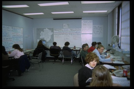
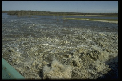
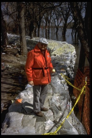
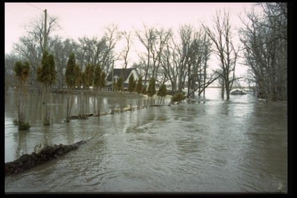
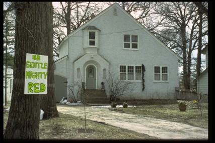
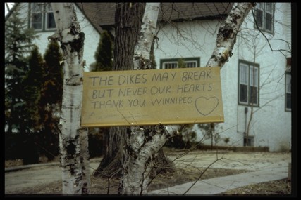
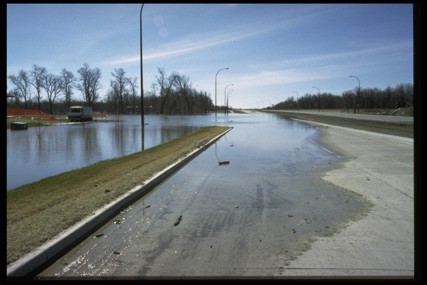
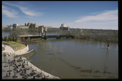
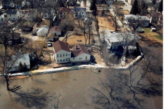
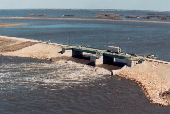
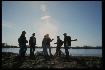
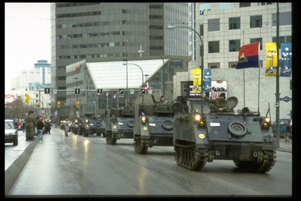
Flood of 1997 photos
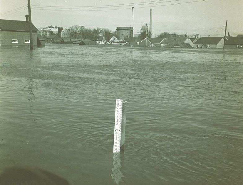
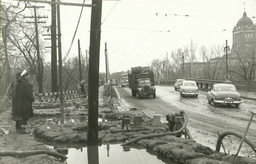
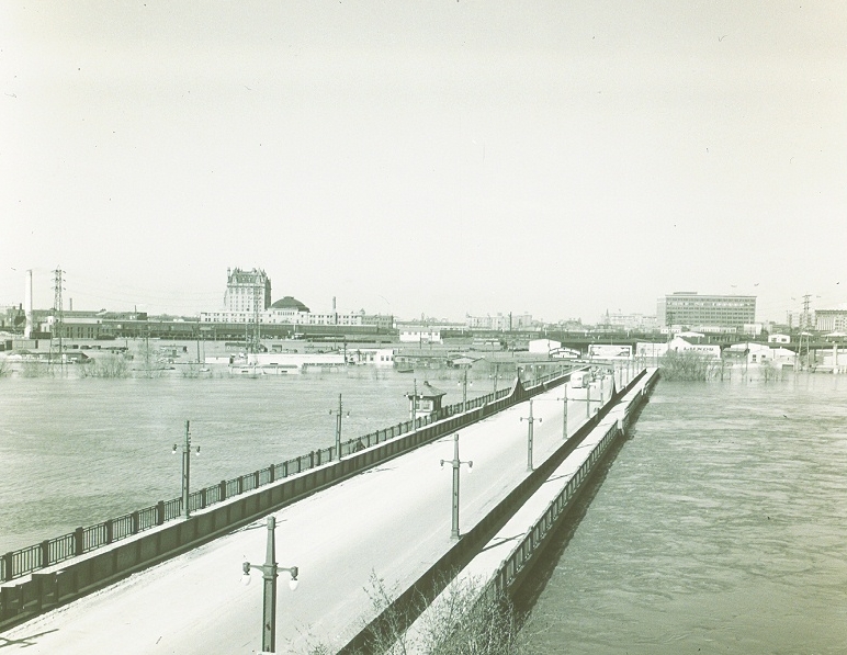
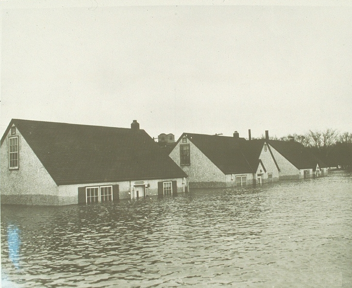
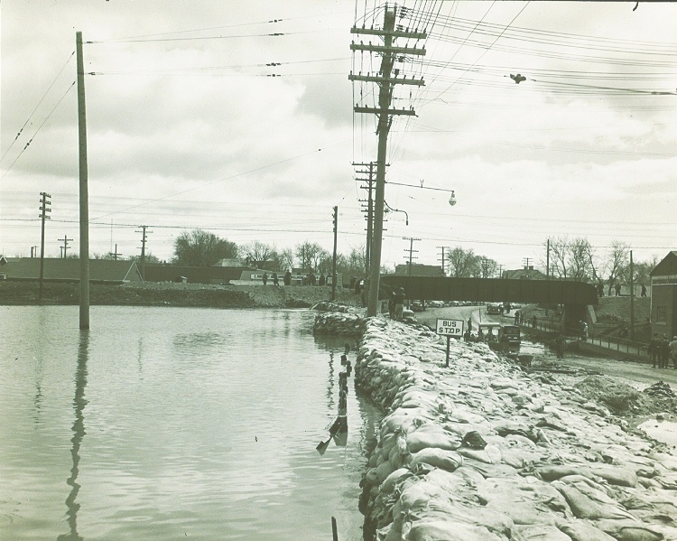
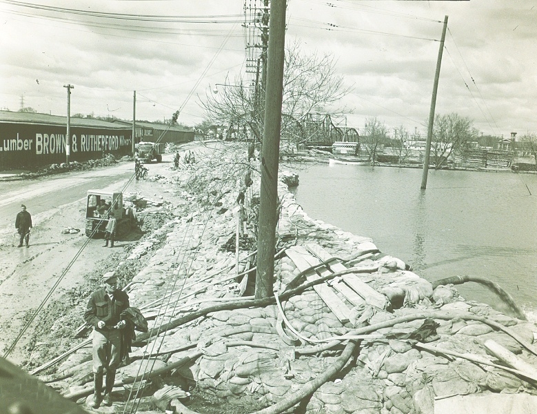
Flood of 1950
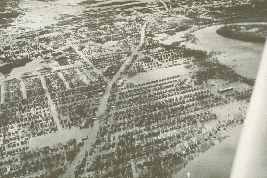
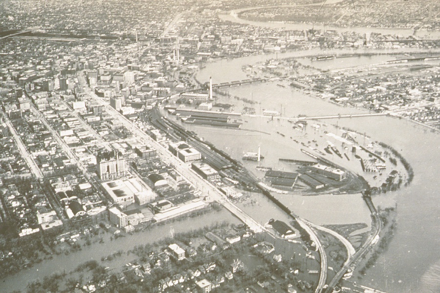
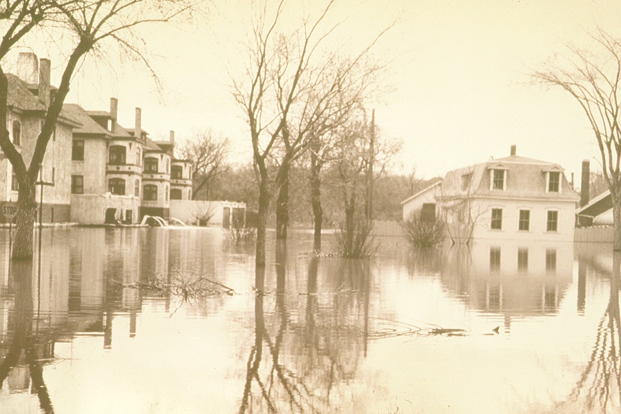
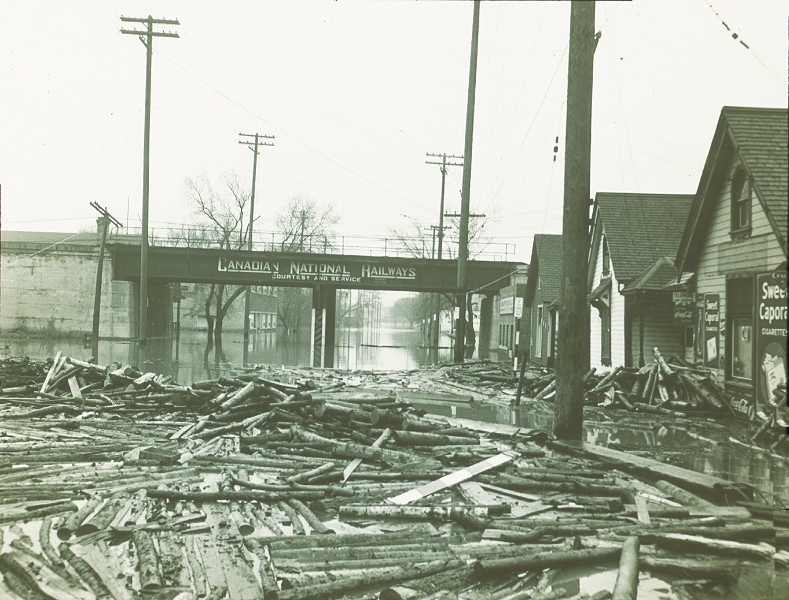
During the 1950 flood, more than 100,000 people were forced from their homes and 10,000 homes were flooded as one-eighth of Winnipeg was submerged by flood waters.

